NCI is helping Australian State and Territory governments gain valuable insights into localised climate change impacts, thanks to high-resolution simulations led by the NSW Department of Climate Change, Energy, the Environment and Water (NSW DCCEEW).
The NSW and Australian Regional Climate Modelling (NARCliM) project, designed and led by NSW DCCEEW with UNSW and Murdoch University, and in collaboration with the ACT, SA and WA Governments, will provide local-scale climate data to governments, planning agencies, industry and academia. This high-impact research will help shape policy.
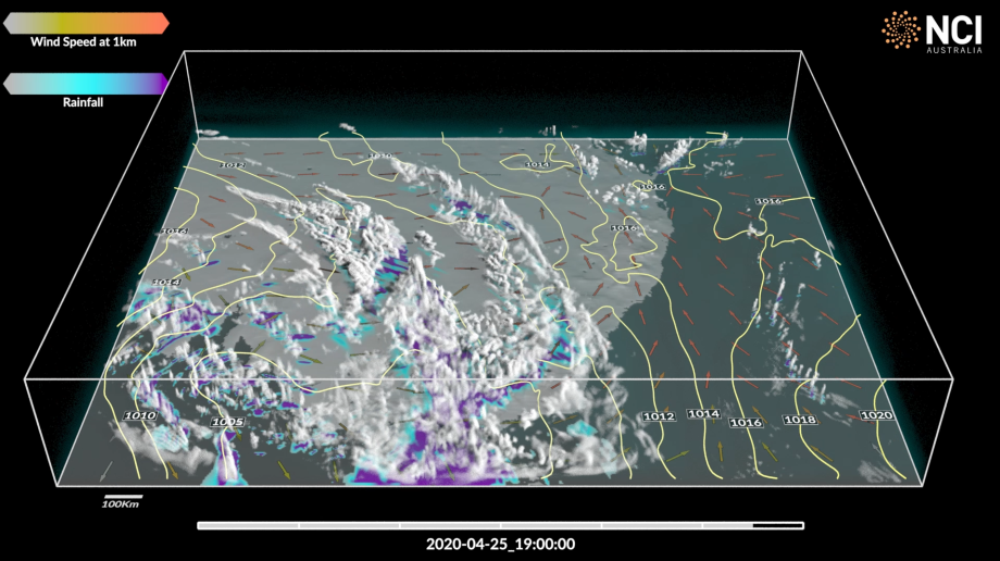
The simulations are created using NCI’s high-performance computing, big data infrastructure and science expertise. NCI also offers the reference data collections, the computing power and the storage space to facilitate the development and use of the NARCliM2.0 simulations. As well as the underpinning infrastructure, NCI provides the software development expertise to enable robust, innovative science.
With the second generation currently in development, NARCliM 2.0 will use the latest climate scenarios from the Intergovernmental Panel on Climate Change to simulate projected changes in local climate for South-East Australia at 4-kilometre resolution and for Australasia at 20-kilometre resolution.
Dr Giovanni Di Virgilio from NSW DCCEEW says, ‘These simulations will be used across government for policy aimed at mitigating and adapting to climate change impacts. For example, management of threatened species at the scale of a national park in a changing climate requires a product like NARCliM2.0. NARCliM2.0 is a scientific and technical advancement over earlier generations, and the NCI computing and data resources, as well as their scientific and technical expertise, are absolutely vital to helping to make this project happen. On top of this, NCI will act as the initial host of the 15 Petabyte NARCliM2.0 dataset, to be used by groups across the country for years to come.’
Mr Perry Wiles from the ACT Environment, Planning and Sustainable Development Directorate says, ‘The ACT is an end-user of the NARCliM data and has been working with the NSW Government on this important project since 2011. The outputs are critically important for the ACT in areas such as water use planning, drought planning, and for federal government climate risk assessments.’
Collaboration across borders and institutions will be required to develop and test simulations as the complexity of climate models increases.