Understanding the structure and composition of the Earth beneath our feet is becoming easier thanks to the delivery of a major project from NCI. The 2030 Geophysics Collections project, led by NCI with NCRIS partners AuScope, the Australian Research Data Commons (ARDC) and the Terrestrial Ecosystem Research Network (TERN), is a noteworthy achievement that will support nationally significant research for many years into the future.
Geophysical data has been collected in Australia for decades, with probes, sensors and satellites constantly providing information to scientists about the composition and structure of Australia’s surface and subsurface. This data is beneficial to society in many areas including energy and mineral exploration, urban development, infrastructure planning, geohazard mitigation, environmental monitoring and agriculture. As datasets grow, researchers learn more about the formation and evolution of the Australian landmass; the structure and composition of Earth’s crust, mantle and core; and the geological history of our mountains, rivers and deserts. Through this project, NCI has:
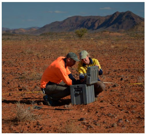
- secured and modernised national scale AuScope-funded AusLAMP Magnetotelluric (MT) time series data and metadata with high-performance international data standards,
- enabled processing, analysis and modeling at scale using mirrored data from the AusPASS Australian Passive Seismic server on NCI’s Gadi supercomputer,
- established secure storage of new next-generation Distributed Acoustic Sensing datasets now being collected by AuScope,
- created powerful and simple-to-use software environments for geophysics, data science and AI/ML research that integrate thousands of pre-built Python, Julia and R libraries, providing a fluid experience in geophysical data processing, analysis and modelling on High-Performance Computing (HPC),
- provided open-source geophysics applications that support parallel computation on Gadi, and
- developed the open source Magnetotelluric time series data publication software to rapidly generate standardised MT processing on HPC.