NCI’s data-intensive services take research data to the next level by bringing to it technologies and expertise that make it more useful and powerful as an input to scientific inquiry. For more than 20 years, the NCI VizLab has been pursuing that mission in the field of scientific visualisation. Evolving over time with shifts in technologies, in 2020 the VizLab is focusing on virtual reality (VR).
In November 2019, the VizLab produced a VR experience showcasing environmental water flows in Africa. This experience was presented at an international summit bringing together thousands of ministers, delegates and scientists from all over the world. The Group on Earth Observations 2019 Ministerial Summit (GEO Week 2019), one of the largest intergovernmental geoscience gatherings in the world, took place in Canberra, providing a great opportunity for NCI to highlight exactly what it can do with research data in the geoscience space.
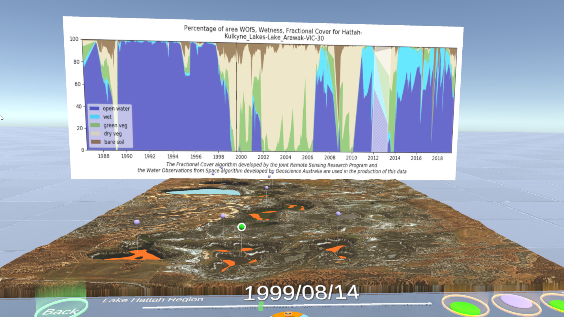
A VR experience in which you are controlling water flows in lakes and rivers, this immersive demonstration allowed its users to intuitively learn about the role of water in the environment through the sites and sounds of a virtual world. They could also see for themselves an example of the benefits of capturing satellite data of the environment, and the innovative technologies and sciences that that enables.
Actual satellite data from Geoscience Australia provided the structure around which the whole experience was built. Attendees at GEO Week were greatly impressed by the experience, including ministers from South Africa, Senegal and Ethiopia, and delegates from other places around the world including several Pacific Islands states and the United States. Overall, the attendees who tried out the VR experience found it an exciting and novel way to demonstrate the power of satellite data and the real-world context that it represents.
This use case is one of many possible once the wealth of environmental data stored at NCI is leveraged creatively through virtual reality technologies. Other demonstrations of VR have looked at ocean currents and temperatures around the globe, rock formation, the structure of bones and wood, and more. Virtual Reality is opening up new and exciting possibilities for scientific exploration and knowledge sharing. For scientists and industry just as much as for ministers, students and educators, VR presentations of scientific data serve to illustrate and delight.
This story was originally published in the 2019-2020 NCI Annual Report.